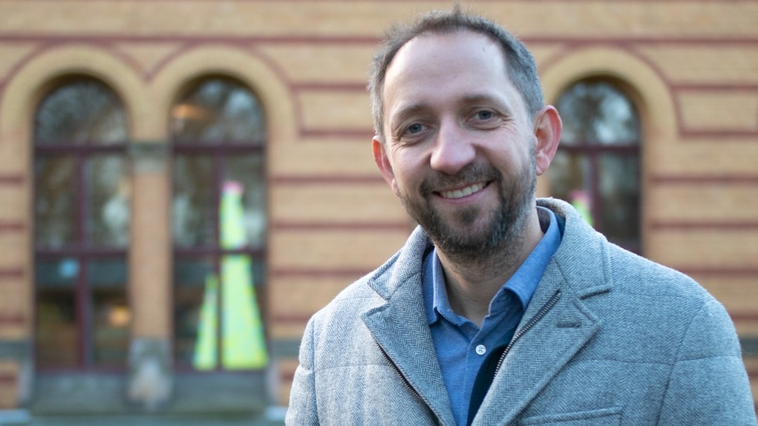
INTERVIEW WITH MARTIN HEROLD
Prof. Martin Herold from the German Research Centre for Geosciences (GFZ) Potsdam observes changes in the earth’s surface and its land use. He knows where forests are felled and for what purpose. In this interview with Charlotte Schmitz, he explains how his research is contributing to greater supply chain transparency.
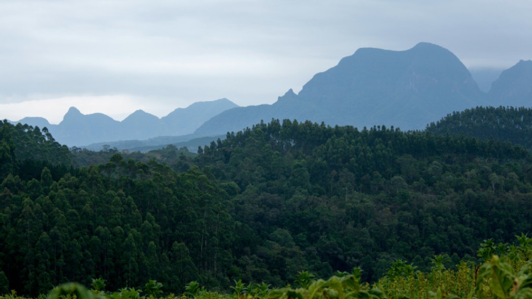
The land surface is constantly changing. There are of course natural processes involved in this, but it must be said that in recent decades, changes in the land surface have been mainly caused by humans. And these changes have been huge. We know this from various data sources, which range from old maps to modern satellite remote exploration.
There are lots of old topographical maps, especially in Europe – they were created for military purposes. For this reason, forests and wetlands show up particularly clearly because you can't march through them with an army. But of course, that’s an old data source. Today, we mainly use satellite data. The closer we look, the more changes we see in land use.
We weren't able to see small changes in the past, but we can today. There are phases in which the size of the change increases or decreases. Take rainforest deforestation, for example: this increases in certain areas and then decreases again at some point. This is probably because the forest has then been cut down as much as is possible.
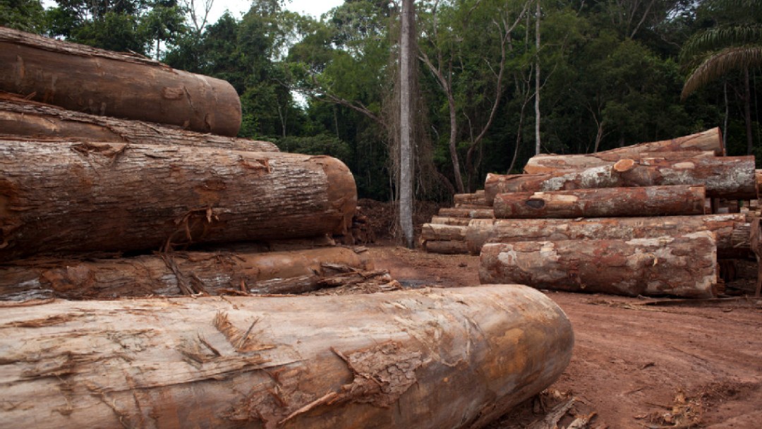
Deforestation increased in Latin America, then decreased due to political regulations and has now risen again. In Africa, we have seen an enormous increase in deforestation over the last five to ten years in particular, especially in the Congo Basin.
It's partly connected to population growth. But it is also due to the fact that an increasing number of international companies are using these areas for food production. In addition, the amount of land in Africa used for agriculture has expanded significantly over recent years. And if you look at the last 50, 60 years, the biggest change in terms of area is the spread of agriculture, including the use of pasture land.
Forests function as giant carbon stores. Tropical forests hold 300 to 400 tonnes of carbon per hectare. In Europe, this figure stands at around 100 to 150 tonnes. When these forests are cut down, burned or left to decay, carbon is released into the atmosphere and this contributes to climate change.
Carbon can also be returned to the earth. Our forests in Europe and worldwide function as a big carbon sink. Despite all the deforestation, the world’s forests absorb more carbon than what they emit. The result: a vital air conditioning service that we are currently getting for free, because without it, climate change would be much, much worse.
Once upon a time, Europe's "sink" worked very well. But now it's starting to fail us. Climate change is causing more droughts, which are damaging our forests – including those here in Germany. In addition, the forests are getting older and older and are therefore absorbing less carbon than they did when they were younger. Rejuvenation is challenging because you don't know which species will be able to withstand climate change. In the tropics, a net loss of carbon is being observed in many areas.
The new EU regulation is very important because a policy framework is being established to address the causes of deforestation. Our research helps to make supply chains traceable and transparent. We mainly work with satellites. As a result, we can see when forests are being cleared somewhere and how the land is subsequently used: is large-scale livestock farming being carried out there? Or is it being used for shifting cultivation by small producers?
One of the most important points in terms of creating transparency is the geographical origin of goods. There are plans in future to attach coordinates to each item. This (theoretically) allows satellite data to be used to see if the land in that specific area is being used appropriately and if the area has been deforested in the recent past. This then makes it easier to determine whether the relevant foodstuffs are linked to deforestation. Satellite data for this purpose is free. By using geographically detailed coordinates, it will be possible to foster greater transparency and traceability.
It will take a bit of work but it'll be worth it, because then nobody will be able to hide. If I manage my supply chain well, I know where my goods and primary products come from.
We have the best earth observation programme in the world right here in Europe. The European Union and Member States Copernicus Programme provides high-quality remote sensing data free of charge for anyone in the world. There's also a commercial market offering very high-resolution data. This does cost something but the data is still detailed. GPS satellites are also important. Here, Europe has its own system here too called Galileo. For our research, we use a combination of two satellite techniques: Earth Observation, which captures land use change, and navigation technology, which accurately captures coordinates.
With the European, free Copernicus data, we achieve a resolution of 10 x 10 metres. And if you want the most precise information possible, there are commercial vendors that offer 50 x 50 cm data. But as I said, these are not free.
AI is a method that helps us extract even more precise details from the data, especially when it comes to the question of the type of land use, such as whether it is soy or cocoa that is being cultivated. Land use is quite a complex area, so AI-trained algorithms are of significantly greater help to us than the traditional methods. In this sector, its already a main way of working. However, the most important thing is good data: without this key aspect, you can use the best AI method, but it won't provide accurate results.
This is a current research question. For example, we can see when a road is being created and trees are being removed right and left. That raises the question: can the forest still regenerate itself? Studies on this are ongoing. In the future, the extent to which the intensity of deforestation is in balance with natural forest renewal must be taken into account in land use planning.
Exactly. And we also need to produce food. However, land use must be managed in such a way that it doesn't come at the expense of forests and doesn't affect areas that are particularly worthy of protection. So far, this has been a low priority. Biodiversity and climate targets were often given lesser priority in land use processes. It is important that we now examine these interrelationships, and remote sensing allows for greater transparency.
Platforms such as KfW and our cooperation with the European Commission are important here. KfW has a significant role to play in gathering expertise. Here at GFZ, we operate a remote lab for transferring data and technology in order to pass on data and expertise to various users.
All data is made available to the general public, e.g. via Copernicus or Global Forest Watch, by the World Resources Institute (WRI). If deforestation or road construction is detected that encroaches on a protected area, an alert is triggered (forest disturbance alerts). This service is used by non-governmental organisations.
Data will improve in quality. Germany is leading the way here with EnMAP: a hyperspectral satellite that detects radiation over 200 bands, such as infrared radiation. With this data, it is possible to identify very detailed material properties. When I look at water, I can see what’s in it, such as suspended materials. When I look at plants, I can identify the chlorophyll and nitrogen content. When I'm examining geological aspects, I can identify which minerals are contained in the rock. We're also working on creating a three-dimensional record of the Earth’s surface. This will allow us not only to see where there is a forest in the first place, but also how tall the trees are and the structure of the forest. These are exciting questions which we are currently researching and which are once again opening up new and fascinating possibilities.
Share page
To share the content of this page with your network, click on one of the icons below.
Note on data protection: When you share content, your personal data is transferred to the selected network.
Data protection
Alternatively, you can also copy the short link: kfw-entwicklungsbank.de/s/enzBtsSp
Copy link Link copied